Publishing date: 09/09/2025
Click here to read the full report
Click here to read the shorter - Policy Brief of the Atarot report
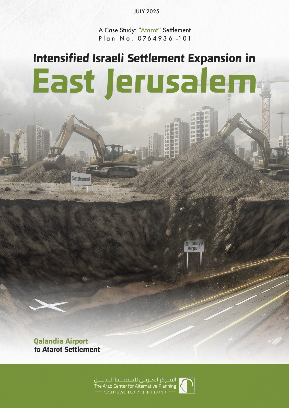
The “Atarot” Settlement Plan
A large-scale settlement plan, known as the “Atarot” Settlement (No. 101-0764936), has been submitted for approval on December 3rd, 2020. This plan targets land in Qalandiya, the former site of the East Jerusalem airport, which is geographically contiguous with the “Atarot” Industrial Zone near the Palestinian town of Beit Hanina. The location of the proposed settlement and its geographical context are shown in the Map below:

Map above: Geographical Context of the "Atarot" Settlement Plan
This report presents and critically analyze the “Atarot” settlement Plan as a crucial element of Israel’s broader strategy to consolidate control over EJ. By examining the plan’s spatial, demographic, legal, environmental, and socio-economic dimensions, this analysis aims to reveal its significant implications for the future of Palestinian communities in the city. The “Atarot” Settlement plan contributes to the fragmentation of Palestinian neighborhoods, villages and towns, exacerbates spatial inequalities, and accelerates demographic engineering against the right of Palestinians to remain and thrive in their historical urban environment, threatening the viability of EJ as the future capital of a Palestinian state and severely compromising the well-being and fundamental rights of its Palestinian residents.